Collection planning
Route limits, back-of-curb and sidewalk features, visible utility structures, surface conditions, tie points, and project-specific field needs.

Survey-Informed OSP Design · Field Support
Coordinate the collection. Control the base. Design with confidence.
Lunex integrates survey and field information into the OSP design workflow so alignments, existing features, right-of-way relationships, and constructability decisions are based on the best available record of the site. Field collection and white lining can be coordinated through qualified survey and field partners when required.
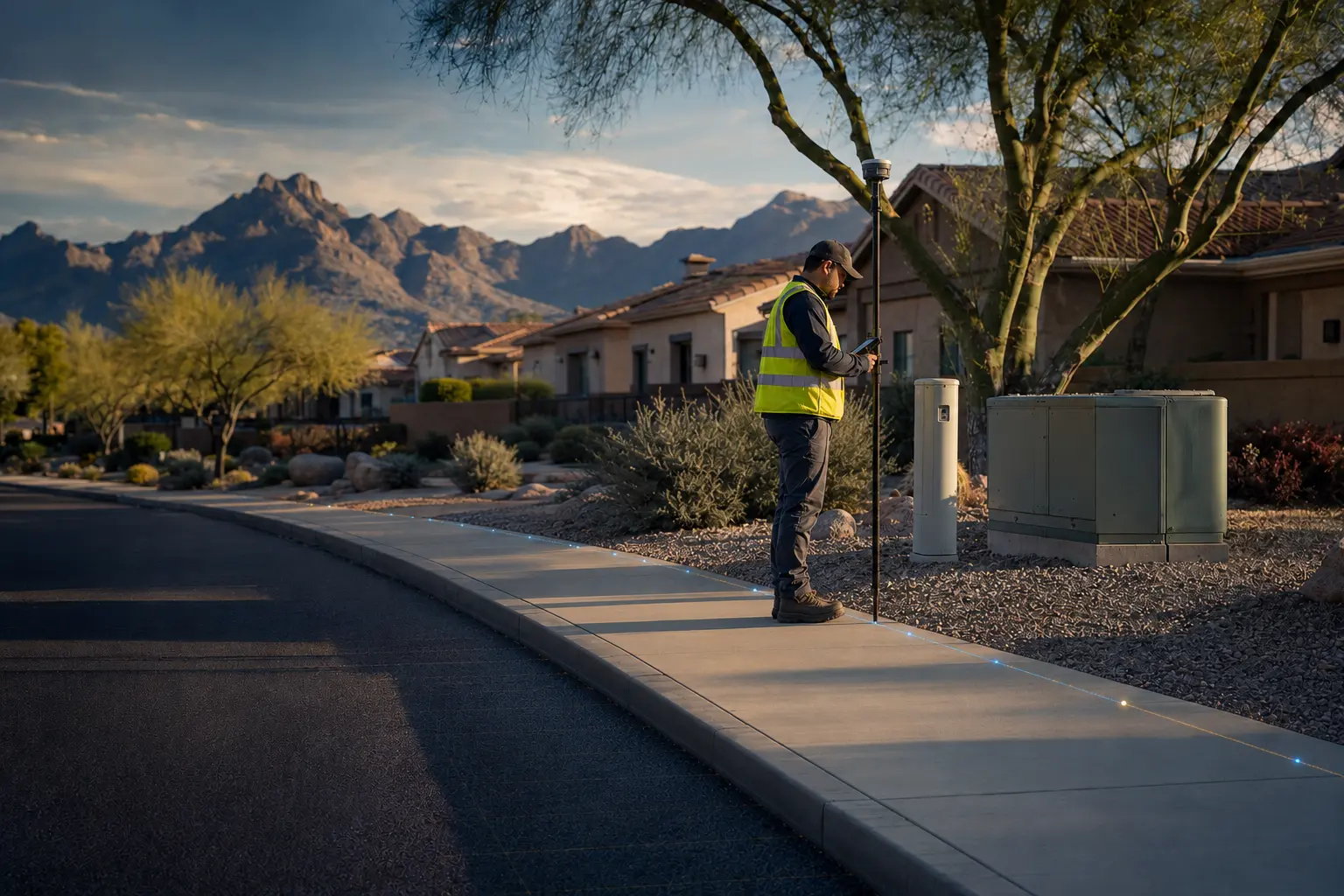
The Work Behind the Drawings
Survey data is most valuable when the collection plan is tied to the design question. We help define the route limits, features, structures, grade information, property relationships, and existing conditions needed to support the intended plan set.
After collection, we review the received data for coverage and consistency, organize it into the design base, and flag gaps or conflicts that need clarification. Utility records and field observations can still be incomplete; subsurface conditions must be verified through the appropriate locating and construction processes.
Capabilities
Route limits, back-of-curb and sidewalk features, visible utility structures, surface conditions, tie points, and project-specific field needs.
Coordination with qualified subcontractors or client survey teams, coverage review, file organization, and design-base integration.
Design-intent exhibits and coordination of white lining or running-line layout through qualified field resources.
Survey-informed base plans showing relevant surface features, visible structures, property context, and route-control information.
Typical Deliverables
Scope and formats are tailored to the owner, contractor, jurisdiction, and intended review stage.
How We Work
Identify the features, limits, accuracy, control, formats, and site questions the collection must address.
Package the request for the client’s surveyor or a qualified field partner and clarify route priorities.
Check received files for coverage, obvious gaps, coordinate consistency, feature coding, and alignment with the requested scope.
Build the design base, flag unresolved conditions, and use the information to refine the proposed OSP route.
A Good Fit For
Scope note: Lunex coordinates field services through qualified subcontractors where required. Survey, utility records, and observations do not replace required utility locating or subsurface verification.
Common Questions
Lunex coordinates collection through qualified survey subcontractors or works with the client’s selected survey team. We define the design needs and integrate the resulting data into the plan set.
Yes. We can prepare route-layout information and coordinate white lining through qualified field partners as part of design support.
No. Survey and visible-field data improve the base map, but underground utility records may be incomplete and field verification is still required through the appropriate locate and construction processes.
Start a Conversation